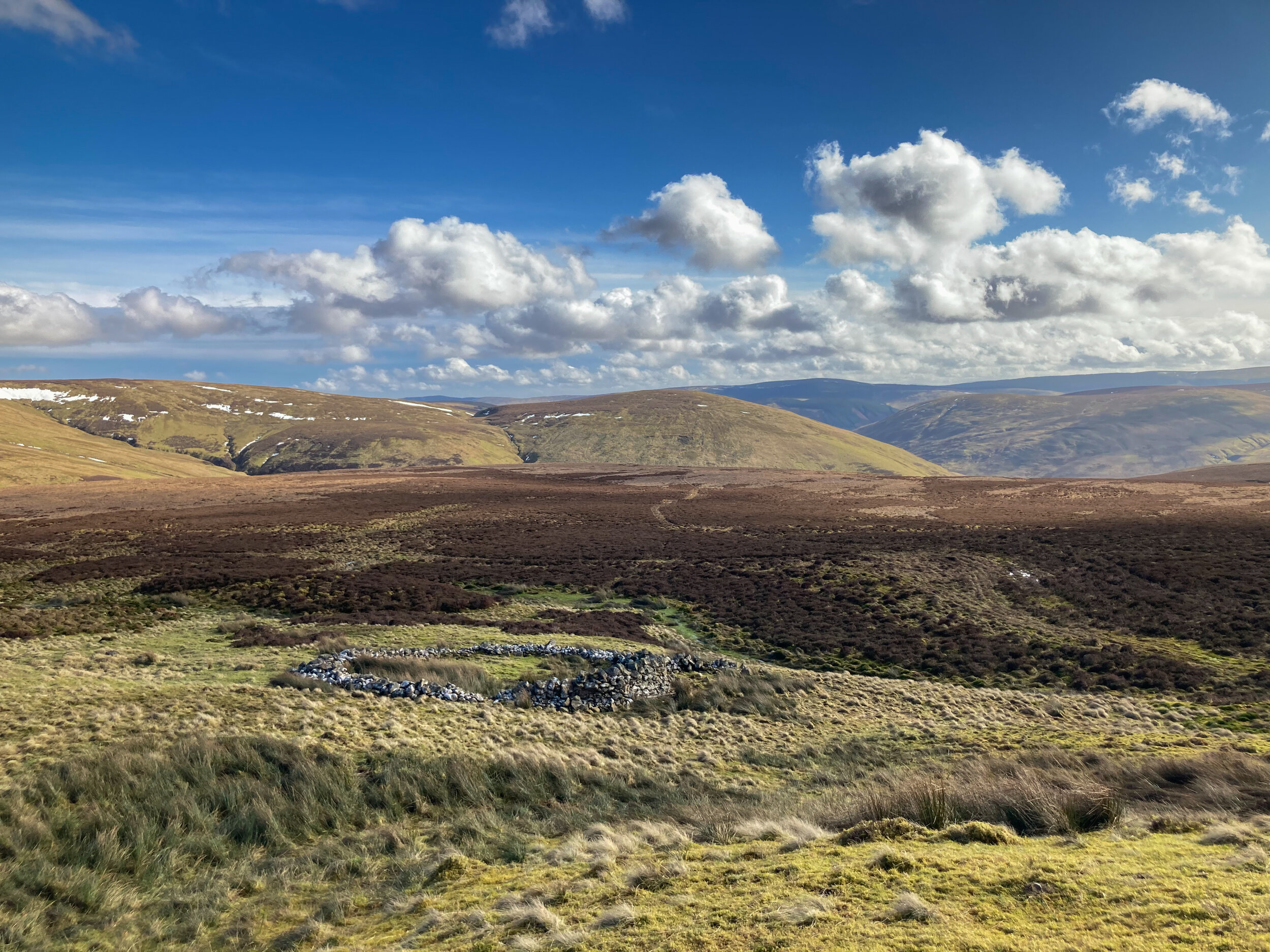
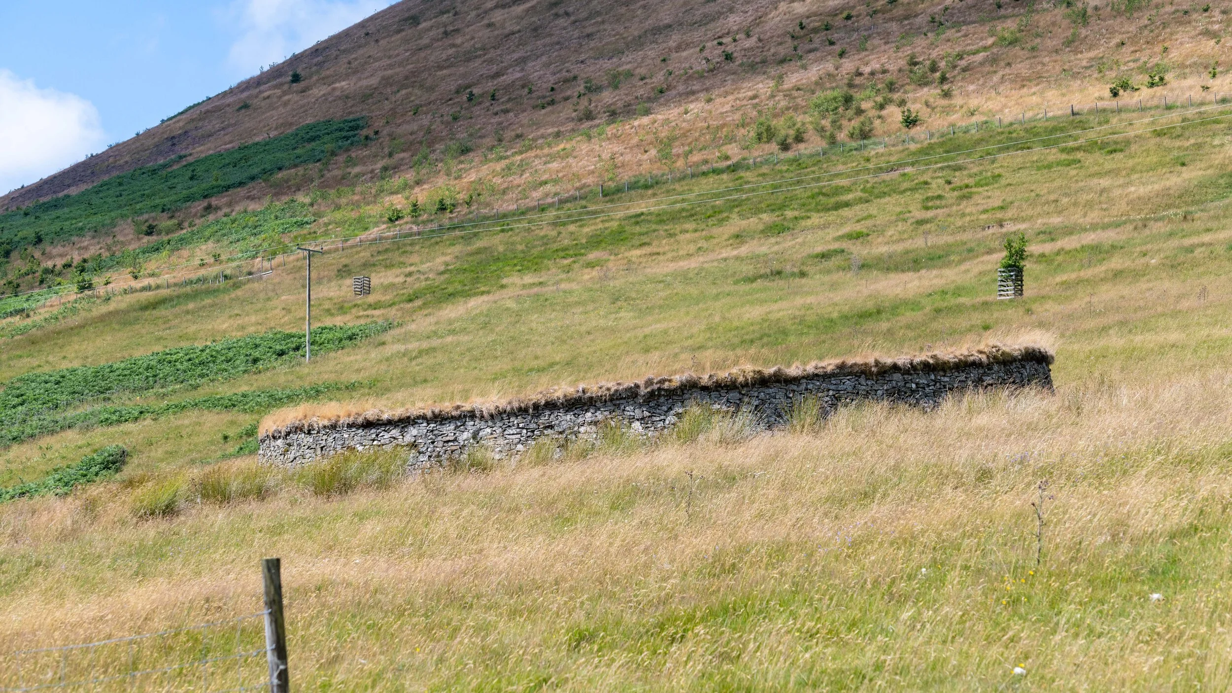
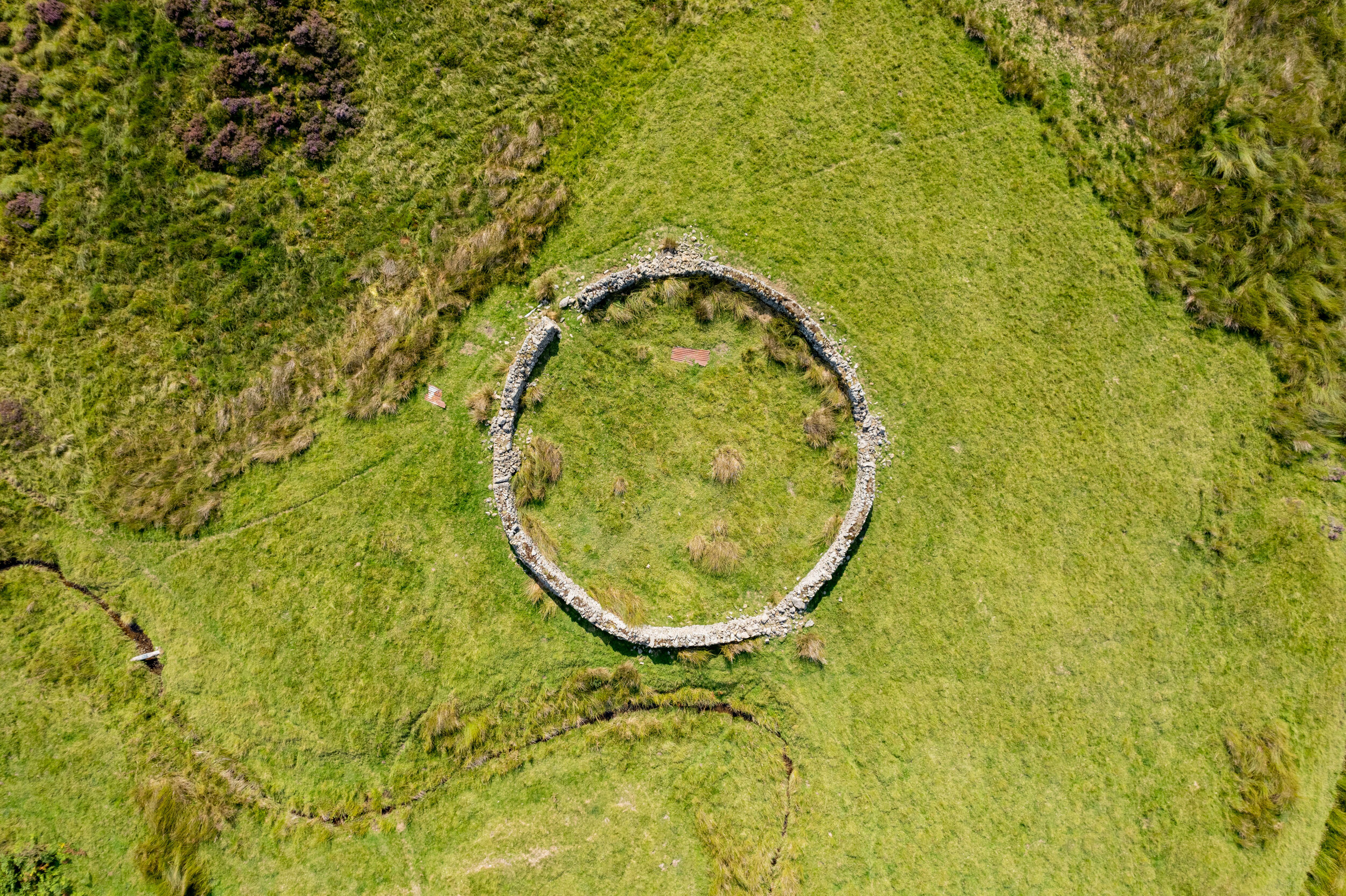
NT133201, at the north end of Gameshope Valley
 NT133201, at the north end of Gameshope Valley
 NT135203, at Talla Linnfoots farm
 NT143199, above Talla Linn, by the track that follows Talla Water
 NT143199, above Talla Linn, by the track that follows Talla Water
 NT148199, by Talla Water, near the shed owned by Borders Forest Trust
 NT148199, by Talla Water, near the shed owned by Borders Forest Trust
 NT157207, by the unclassified road from Talla to Megget, approximately 1.5km W of Meggethead
 NT157207, by the unclassified road from Talla to Megget, approximately 1.5km W of Meggethead
 NT154205, by the unclassified road from Talla to Megget, approximately 1.5km W of Meggethead. This stell has the addition of further compartments, one of which has brick paving.
 NT154205, by the unclassified road from Talla to Megget, approximately 1.5km W of Meggethead. This stell has the addition of further compartments, one of which has brick paving.
 NT159203, on the south side of the Megget Water. The OS 1:25,000 map shows two stells in this location, but on this visit (150421) I could only identify one.
 NT159203, on the south side of the Megget Water. The OS 1:25,000 map shows two stells in this location, but on this visit (150421) I could only identify one.
 NT252194, by the Southern Upland Way, approximately 1.3km SE of Crosscleuch Farm
 NT203249, by the track from Manor Valley to the Megget, approximately 1.5km N of Craigierig
 NT125212, by the road on the NE side of Talla Reservoir, approximately 2.6km from the dam.
 NT135207, by the road on the NE side of Talla Reservoir, approximately 0.4km from the Talla Linnfoots farm.
 NT135207, by the road on the NE side of Talla Reservoir, approximately 0.4km from the Talla Linnfoots farm.
 NT135207, by the road on the NE side of Talla Reservoir, approximately 0.4km from the Talla Linnfoots farm.
 NT162207, by the road near the Megget Water, approximately 1km from Meggethead.
 NT162207, by the road near the Megget Water, approximately 1km from Meggethead.
 NT162207, by the road near the Megget Water, approximately 1km from Meggethead.
 NT162207, by the road near the Megget Water, approximately 1km from Meggethead.
 NT155107, Stell at Carrifran, at the SW corner of the valley, by the A708
 NT155107, Stell at Carrifran, at the SW corner of the valley, by the A708
 NT161120, Stell at Carrifran, now the principal viewpoint for the valley
 NT174130, Stell on the south side of the A708, 2km NW of Carrifran
 NT174130, Stell on the south side of the A708, 2km NW of Carrifran
NT243141, by the Ettrick Water, just east of Cossarshill farm, some 2km W of Ettrick Kirk.
NT292227, by the B709, some 2km SW of the Gordon Arms Hotel
NT188092, upper Ettrick Valley 1/2km NE of Potburn
NT189091, upper Ettrick Valley, 1/2km NE of Potburn
Upper Ettrick Valley (S of road)
Upper Ettrick Valley (N side of road)
Stell on the B709, N of Blackhopebyre
prev / next